
Geocat Enterprise GIS
Geocat is a managed ArcGIS Enterprise deployment hosted on Amazon Web Services (AWS) and maintained by ROK Technologies that provides K-State students, faculty, and staff with a scalable and secure platform for geospatial data storage, processing, and analysis.
NextGen Geospatial Cyberinfrastructure for K-State
Kansas State University is preparing to launch Geocat, a powerful new enterprise GIS system that represents a major advancement in digital infrastructure to support the university’s land-grant mission. Funded by the Kansas Water Institute and Amazon Web Services (AWS), Geocat delivers a scalable, cloud-native platform for managing, analyzing, and sharing spatial data across academic disciplines and public engagement efforts.
The name Geocat is a play on Beocat, K-State’s high-performance computing cluster operated by the Institute for Computational Research. Designed to meet the increasing demand for data-intensive and spatially-explicit research and communications, Geocat will support high-performance geospatial workflows, including 3D visualization, data discovery and sharing, remote sensing analysis, GeoAI, and complex spatial modeling. Built on a fully managed ArcGIS Enterprise stack hosted on AWS and maintained by ROK Technologies, the system combines powerful analytical tools with robust and scaleable cloud infrastructure to ensure speed, reliability, accessibility, and security.
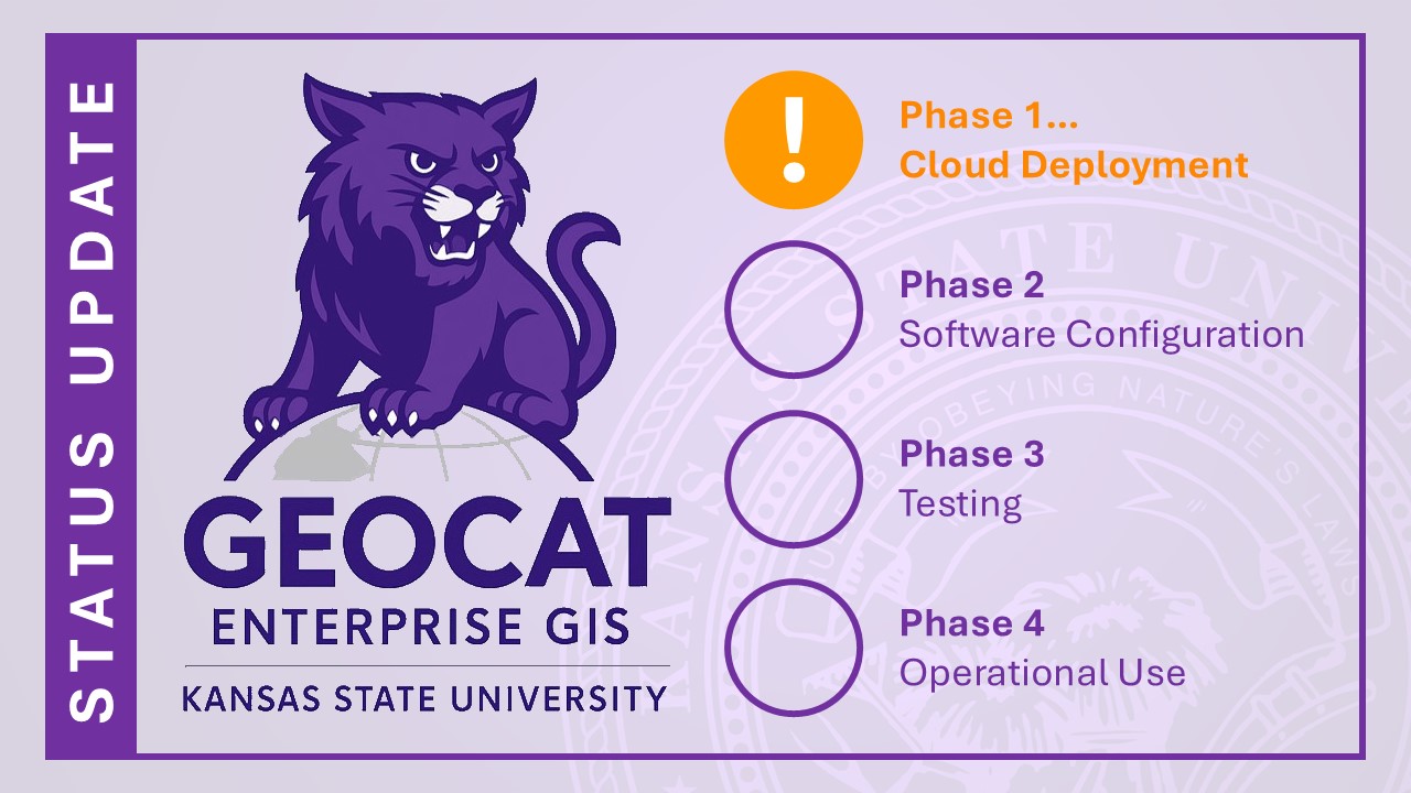
July 28, 2025: Geocat is currently in Phase 2 (Software Configuration) and not yet available for use. Follow @kstate_gissal on X for updates as we prepare for a full launch later this summer.